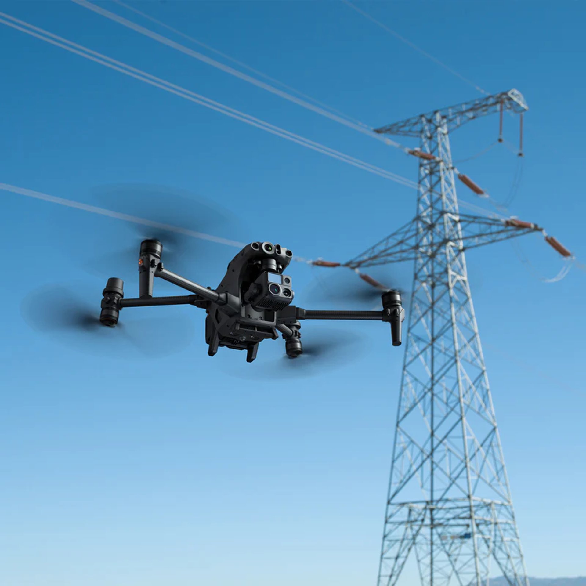
Drone Mapping
Precision aerial mapping and surveying services for your projects.


Survey Excellence
Delivering exceptional aerial survey solutions tailored to client needs, enhancing project accuracy and efficiency in various industries, including construction, agriculture, and environmental assessments.


Quality Assurance
Ensuring the highest standards in aerial mapping and surveying by employing advanced drone technology, experienced pilots, and comprehensive analysis for optimal project results.
Location Services
We provide aerial drone mapping and surveying services across various locations, ensuring precision and quality in every project we undertake.

Stratozz provided exceptional aerial mapping services that exceeded our expectations and delivered precise results.
John Doe

The aerial surveying by Stratozz was incredibly detailed and helped us make informed decisions quickly.
Jane Smith
